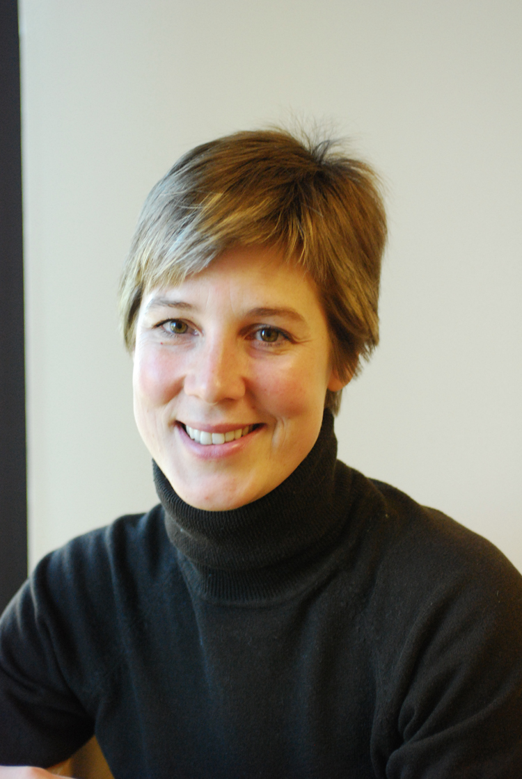
Web Info for Julia Linke (PhD)
 BSc
Forestry,
MSc,
PhD
BSc
Forestry,
MSc,
PhD 
NSERC Postdoctoral Fellow
Contact
Info:
Department
of Ecology and Evolutionary Biology
LE Lab http://labs.eeb.utoronto.ca/fortin/
University of Toronto
25 Harbord St., Toronto, Canada M5S 3G5
Tel:
+ (416) 946-7886
Fax:
+(416) 978-8532
E-mail:
julia.linke@utoronto.ca
Curriculum
Vitae
Brief
Research Interest:
My
studies
aim to apply remote sensing and geographic information system tools to
landscape ecology questions pursuing a species-centred approach to
spatio-temporal quantification
of landscape and human-disturbance patterns and their effects on
wildlife
occurence. I specialize in multi-temporal landscape monitoring.
Education:
-
DOCTOR OF PHILOSOPHY IN GEOGRAPHY
MAY 2005 TO December 2010
University
of
Calgary
Calgary, AB
Department
of Geography
Thesis: Development and
Application of a Framework for Flexible and Reliable Landscape
Monitoring: Changes in the Alberta Foothills and the
Impact on Grizzly Bear Habitat.
-
MASTER OF SCIENCE IN
GEOGRAPHY
SEPTEMBER 2000 TO AUGUST 2003
University
of
Calgary
Calgary, AB
Department
of Geography
Thesis:
Seismic Lines using Landsat TM and IRS imagery: Effects on Landscape
Structure
and Locations of Grizzly bears (Ursus arctos).
-
BACHELOR OF SCIENCE IN
FORESTRY
SEPTEMBER 1994 TO MAY 1999
University
of New
Brunswick
Fredericton, NB
Faculty
of Forestry and Environmental Management
Dean’s
List 1994 to 1999, minors in Wildlife and in Environmental Studies,
senior
thesis about shade and drought tolerance of red maple
(Acer
rubrum) and white birch (Betula paperyfera).
-
ABITUR (GERMAN SECONDARY SCHOOL
DIPLOMA)
AUGUST 1990 TO JULY 1994
Hilda
Gymnasium
Pforzheim, Germany
Emphasis
of core study: french, german, history, mathematics.
-
ELEMENTARY PRIMARY
SCHOOL
AUGUST 1980 To JULY 1990
Rudolf
Steiner Waldorf Schule
Pforzheim, Germany
Employment:
-NSERC
POSTDOCTORAL FELLOW
SEPTEMBER 2011 TO PRESENT
Department
of Ecology and Evolutionary
Biology
Toronto, ON
NSERC
Project with the Canadian Network for Aquatic Ecosystem Services:
Geospatial risk mapping of aquatic system across Canada
Mentor: Dr. Marie-Josée Fortin
-COURSE
INSTRUCTOR
JANUARY TO APRIL 2007
University
of
Calgary
Calgary, AB
Development
and teaching of a fourth-year undergraduate one semester statistics
course "Analytical Methods in Geography II" (Geog 439) with
emphasis on the analysis of temporal, spatial and multivariate data
sets (covered techniques include matrix algebra, multiple linear
regression,
time series analysis, kriging, principle component analysis, cluster
analysis and discriminant analysis).
-
RESEARCHER ON CONTRACT
JANUARY TO MAY 2005
University
of
Saskatchewan
Fredericton, NB
Collaborators:
Dr. Steven E. Franklin, Dr. Michael Lavigne, Dr. Matthew Betts
Development
and writing of an introductory bookchapter
-COURSE
INSTRUCTOR
AUGUST 2004
University
of
Calgary
Calgary, AB
Collaborator:
Greg McDermid
Development
and teaching of 50% of a 7 day problem-based learning field course in
“GIS
and Forest Ecology” (Geog 537) with emphasis on
forest
mensuration, sampling, remote sensing image interpretation, and
landscape
pattern quantification.
-
RESEARCHER ON CONTRACT
JANUARY TO FEBRUARY 2003
Simon
Fraser
University
Burnaby, BC
Collaborators:
Dr. D. Lank and Dr. Y. Zharikov
Statistical
analysis of marbled murrelet (Brachyramphus Marmoratus)
nesting
habitat structure (FRAGSTATS, principal component analysis
and
hierarchical clustering techniques), report writing.
-
RESEARCHER ON CONTRACT
NOVEMBER TO DECEMBER 2002
University
of
Calgary
Calgary, AB
Collaborators:
Dr. Steven E. Franklin and Dr. Michael Wulder
Scientific
literature compilation and review on Landsat satellite data accuracy
assessment
methods.
-
RESEARCHER ON CONTRACT
MAY TO JUNE 1999
University
of New
Brunswick
Fredericton, NB
Collaborator:
Dr. A.W. Diamond
Scientific
literature compilation, website design, production of charts, sampling
and population estimates, report writing and presentation.
-
ECOPHYSIOLOGY RESEARCH TECHNICIAN
MAY TO SEPTEMBER 1996-1998
Canadian
Forest
Service
Fredericton, NB
Supervisor:
Dr. M. Lavigne
Project
establishment, experimental layout, field work, wet-laboratory work,
soil
respiration and plant photosynthesis measurements using a
LI-COR
6200 machine, graphical and statistical data processing, independent
travel
to and data collection at various field research sites within
New
Brunswick and Québec, collaboration with Canadian Forest Service
Québec, and with Dr. Steve Franklin (ground truthing (via timber
cruising)
of
remotely
sensed data).
Publications:
Articles
Published in refereed Journals:
15.
Linke, J., McDermid, G.J., Fortin, M.-J., and G.B.
Stenhouse.
2013. Relationships Between Grizzly Bears and human disturbances
in a rapidly changing multi-use forest landscape. Biological Conservation
(166) 54-63 DOI: 10.1016/j.biocon.2013.06.012 PDF
14.
Linke J. and G.J. McDermid. 2012. Monitoring landscape
change in multi-use west-central Alberta, Canada using the
disturbance-inventory framework. Remote Sensing of
Environment (125) 112-124 DOI: 10.1016/j.rse.2012.07.011 PDF
13.
Castilla, G., Linke J., McLane, A.J., and G.M. McDermid. 2011.
Quantifying bias in pattern indices extracted from spatially offset
landscape samples. Canadian Journal of
Forest Research 41 (10) 2090-2096, DOI: 10.1139/x11-123 PDF
12.
Linke J. and G.J.
McDermid. 2011. A conceptual model for
multi-temporal
landscape monitoring in an object-based environment. IEEE –
Journal of Selected Topics in Applied Earth Observations and Remote
Sensing 4(2): 265-271 DOI:
10.1109/JSTARS.2010.2045881 PDF
11.
Linke, J., McDermid, G.J., Laskin,
D.N., McLane A.J., Pape,
A., Cranston, J., Hall-Beyer, M. and
S.E. Franklin. 2009. A disturbance-inventory
framework for
flexible and reliable
landscape monitoring. Photogrammetric
Engineering and Remote
Sensing 75 (8): 981-995 PDF
10.
Hilker, T., Wulder, M.A., Coops, N.C., Linke, J., McDermid, G., Masek,
J., Gao, F., & White, J.C. 2009. A new data fusion
model for high spatial- and temporal- resolution mapping of forest
disturbance based on Landsat and MODIS. Remote Sensing of
Environment 113: 1613- 1627
9.
Linke, J., McDermid,
G.J., Pape, A., McLane A.J., Laskin,
D.N., Hall-Beyer, M. and
S.E. Franklin. 2009. The influence of patch-delineation
mismatches on
multi-temporal landscape pattern analysis. Landscape
Ecology 24 (2): 157-170 DOI: 10.1007/s10980-008-9290-z
8. Castilla,
G., Larkin, K., Linke, J., and G. Hay.
2009. The impact of thematic resolution on the patch mosaic
model of natural landscapes. Landscape Ecology
24 (1): 15-23 DOI: 10.1007/s10980-008-9310-z
7.
McDermid, G.J., Linke, J., Pape,
A., Laskin, D.N., McLane A.J., and
S.E. Franklin. 2008. Object-based approaches to change
detection and thematic map update: challenges and limitations.
Canadian Journal
of Remote Sensing 34 (5): 462-466 PDF
6.
Linke, J., Franklin, S.E., Hall-Beyer, M. and G.B.
Stenhouse.
2008. Effects of
cutline density and land-cover heterogeneity on landscape metrics in
western Alberta. Canadian
Journal of Remote Sensing 34 (4): 390-404 PDF
5. Linke,
J and S. E. Franklin. 2006. Interpretation of landscape
structure
gradients based on satellite image classification of land
cover.
Canadian Journal
of Remote Sensing 32 (6): 367-379.
PDF
4.
Wulder,
M.A., Franklin, S.E., White, J. C., Linke, J. and S. Magnussen.
2006.
An
accuracy assessment framework for large area land cover classification
products derived from medium resolution satelite data.
International
Journal of Remote Sensing 27 (4): 663-683 PDF
3.
Linke,
J., S.E. Franklin, F. Huettmann and G.B. Stenhouse. 2005.
Seismic
cutlines, changing landscape metrics and grizzly bear landscape use in
Alberta. Landscape
Ecology 20: 811-826. DOI 10.1007/s10980-005-0066-4 PDF
2.
Huettmann,
F, and J. Linke. 2003. An
automated method to derive habitat preferences of wildlife in GIS and
telemetry
studies: A flexible software tool and examples of its application.
European Journal
of Wildlife Research 49: 219-232 PDF
1.
Wiese,
F.K., W.A. Montevecchi, G. Davoren, F. Huettmann, A.W. Diamond and J.
Linke.
2001. The necessity to
monitor
the impacts of offshore oil platforms on seabirds. Marine Pollution
Bulletin
42: 1285-1290 PDF
Articles
in Press:
n/a
Articles
in Review/Preparation:
n/a
Book Chapters:
1.
Linke. J.,
Betts, M., Lavigne, M. And S.E. Franklin. 2006. Chapter 1:
Structure,
Function and Change of Forest Landscapes. Pages 1 - 29 In Franklin, S.E., Wulder,
M.A. Understanding
Forest Disturbance and Spatial Pattern: Remote
Sensing and GIS approaches. Taylor and Francis – CRC
Press. 246
pp. PDF
Articles in Conference Proceedings:
4. Linke, J. and G. J. McDermid. 2009. Spatially
consistent landcover maps for reliable landscape monitoring: an
object-based disturbance-inventory approach. Pages 249- 255
In Civco, D.L.
(Ed.). Conference
Proceedings of MultiTemp 2009: the Fifth International Workshop on the
Analysis of Multi-temporal Remote Sensing Images held in Mystic,
Conneticut July 28-30, 2009. PDF
3.
Linke, J., Pape, A. , Cranston, J., McDermid, G., Hall-Beyer, M.,
Franklin, S.E., and G.B. Stenhouse. 2007. Changes in female
grizzly
bear (Ursus arctos) homerange
composition and configuration in the multi-use Albertan Rocky Mountain
Foothills, Canada. Pages 369-370 In Bunce, R.G.H., Jongman, R.H.G.,
Hojas, L. and Weel, S. (Eds). 25 Years Landscape
Ecology:
Scientific Principles in Practice. Proceedings of the 7th IALE
World Congress 8-12 July Wageningen, the Netherlands, IALE
Publication series 4 PDF
2.
Huettmann,
F. and J. Linke. 2003. Assessment
of different link functions for modeling binary data to derive sound
inferences
and predictions. In Kumar, V., Mavrilova, M.L., Tan, C.J.K., and
P.L’Ecuyer
(Eds). Computational
Science and its Applications - ICCSA
2003.
International Conference Proceedings, Montreal, Canada. Part
III.
Springer-Verlag Berlin. PDF
1.
Huettmann,
F. and J. Linke. 1999. Abstract: Interactions between mantled
howling
monkeys (Alouatta palliata) and neotropical birds in a
fragmented
forest habitat on Ometepe Island, Nicaragua. American Association of
Physical
Anthropologists, Supplement 28 to the American Association of
Physical
Anthropology Annual Meeting Issue, p. 156.
Non-refereed
Articles and Documents:
5. Linke J. 2011. Development
and Application of a Frameowrk for Flexible and Reliable Landscape
Monitoring: Changes in the Alberta Foothills and the
Impact on Grizzly Bear Habitat. PhDThesis,
University of Calgary: Calgary, AB, Canada. 163pp. PDF
4.
Linke J. 2003. Using
Landsat TM and IRS imagery to Detect Seismic Cutlines: Assessing their
Effects on Landscape Structure and on Grizzly Bear (Ursus arctos)
Landscape Use in Alberta. M.Sc.Thesis,
University of Calgary: Calgary, AB, Canada. 149pp. PDF
3.
Linke
J. and S.E. Franklin. 2003. Grizzly Bear Foothills Habitat
Fragmentation
by Seismic Cutlines: Preliminary Report about Parsimony of Landscape
Metrics
and Cutline Effects on Habitat Structure and Foothills Grizzly Bear
Landscape
Use. Pages 68-87, in G. B. Stenhouse, R.H. Munro, and K. Graham (eds).
Foothills Model
Forest Grizzly Bear Research Program: 2002 Annual
Report.
Hinton, Alberta.
2.
Wiese,
F.K., W.A. Montevecchi, G. Davoren, F. Huettmann, A.W. Diamond and J.
Linke.
2000. Abstract: The necessity to monitor the impacts of offshore oil
platforms
on seabirds. Canadian
Technical Report of Fisheries and Aquatic
Sciences
23331, p. 13.
1.
Montevecchi,
W.A., Wiese, F.K. G. Davoren, F. Huettmann, A.W. Diamond and J.
Linke.
1999. Seabird attraction to offshore platforms and seabird
monitoring
from offshore support vessels and other ships. Report prepared
for
the Canadian
Association of Petroleum Producers.
Conference
Presentations:
<>18.
Linke, J. and Fortin, M.J. 2014. Preliminary research
update for CNAES Project on geospatial risk ampping of aquatic
systems: "relating estuarine nekton to upstream water quality and
land use". Presentation to the Northumberland Straight
Environmental Monitoring Partnership (NorSt-EMP) meeting. Delta
Beausejour, Moncton, February 4, 2014. Powerpoint
17.
Linke, J., McDermid, G.J., Fortin, M.-J., and G.B.
Stenhouse. 2013. Multi-annual
landscape monitoring using the disturbance-inventory framework and its
application to grizzly bears in west-central Alberta. Multitemp
2013: Seventh International Workshop on the Analysis of Multi-temporal
Remote Sensing
Images. Banff, Alberta. June 25-27, 2013.
16.
Linke, J., McDermid, G.J.,
Fortin, M.-J. 2013. The
disturbance-inventory framework for landscape monitoring: foundations
and application to grizzly bear habitat. 33rd Canadian
Symposium on Remote Sensing. Ottawa, Ontario. June 11-14,
2012.
15.
Linke, J. and Mcdermid, G. 2011. Oral Presentation: A
disturbance-inventory framework for annual landscape monitoring:
application in West-Central Alberta. 32nd Canadian Symposium on
Remote Sensing. Sherbrooke, Quebec, June 13 -6, 2011.
14.
Linke J. and McDermid G. Oral Presentation: Spatially
consistent landcover maps for reliable landscape monitoring: an
object-based disturbance-inventory approach. Multitemp 2009: Fifth
International Workshop on the Analysis of Multi-temporal Remote Sensing
Images. Mystic, Conneticut. July 28-30, 2009.
13.
Castilla, G., Linke, J. and G.J. McDermid. 2009. Poster
Presentation: Semit-automated generation of a multi-temporal
disturbance inventory with the Landcover Change Mapper (LCM). Multitemp
2009: Fifth
International Workshop on the Analysis of Multi-temporal Remote Sensing
Images. Mystic, Conneticut. July 28-30, 2009.
12.
Linke J. and McDermid G. Poster Presentation:
Multi-temporal data handling: procedures for automated sliver-free
thematic map updating and backdating. Multitemp 2009: Fifth
International Workshop on the Analysis of Multi-temporal Remote Sensing
Images. Mystic, Conneticut. July 28-30, 2009.
11.
Sobol A., Linke J., McDermid G.J., Boulanger J., and G.
Stenhouse. Oral Presentation: The impact of sampling intensity
and failed GPS acquisition on animal home range estimation. 30th
Canadian Symposium of Remote Sensing: Bridging Excellence, Lethbridge,
Alberta, June 22-25 2009.
10.
McLane, A.J., Hird, J., Linke J., Castilla G. and G. J. McDermid.
Poster Presentation: Influence of the extent of sample landscapes on
the accuracy of human footrpint statistics in the context of
biodoversity monitoring. 30th Canadian Symposium of Remote
Sensing: Bridging Excellence, Lethbridge, Alberta, June 22-25 2009.
9.
Linke J., Castilla G., McLane A.J., and G.J. McDermid. Poster
Presentation: Effect of photoplot displacement on landscape pattern
analysis: implications for biodiversity monitoring in Alberta.
30th Canadian Symposium of Remote Sensing: Bridging Excellence,
Lethbridge, Alberta, June 22-25 2009.
8.
Linke J. and McDermid G. Oral Presentation: Tracking Annual
Landscape Change in the Rocky Mountain Foothills of Alberta: An
Application of the Disturbance-Inventory Monitoring Framework.
30th Canadian Symposium of Remote Sensing: Bridging Excellence,
Lethbridge, Alberta, June 22-25 2009.
7.
Linke J. Oral Presentation: Tracking Annual Landscape Change in
the Rocky Mountain Foothills of Alberta: Development and Applications
of the Disturbance-Inventory Monitoring Framework. Department of
Geography 46th Annual Conference. Calgary, Alberta. March
20, 2009.
6.
Linke, J., McDermid, G., McLane
A.J., Laskin, D.N. Oral
Presentation: Methods for tracking landscape change in an
object-based environment: towards a framework for reliable
monitoring. GEOBIA 2008 Conference - Pixels, Objects,
Intelligence. Calgary, Alberta. August 5-8, 2008.
5.
Linke, J., McDermid, G., Pape, A. ,
Hall-Beyer, M. Oral Presentation: The influence of spatial delineation
errors on multi-temporal landscape pattern analysis. ASPRS Annual
Conference, Portland, Orgeon. April 28 - May 2, 2008.
4.
Linke, J., Pape, A. , Cranston, J., McDermid, G., Hall-Beyer, M.,
Franklin, S.E., Stenhouse, G.B. Oral Presentation: Changes in
female grizzly bear (Ursus arctos) homerange
composition and configuration in the multi-use Albertan Rocky Mountain
Foothills, Canada. 7th IALE World Congress, Wageningen,
Netherlands. July 8 - 12, 2007.
3.
Linke,
J. S.E. Franklin, G.B. Stenhouse, and F. Huettmann. Poster
Presentation:
Grizzly bear population landscape use and structure in Alberta.
14th
International Conference on Bear research and Management, Steinkjer,
Norway.
July 28 - August 2, 2002.
2.
Linke,
J. and S.E. Franklin. Oral presentation: Effects of Seismic
Cutlines
on Landscape Metrics of Grizzly Bear Habitat in the Alberta Foothills,
Canada. 17th Annual Symposium of the International Association
for
Landscape Ecology, Lincoln, Nebraska. April 23 -27, 2002.
1.
Linke,
J. and S. E. Franklin. Oral Presentation: Grizzly Bear Habitat
Fragmentation
by Seismic Cutlines mapped from Indian Remote Sensing Imagery in the
Foothills
of Alberta. Western Division of Canadian Association of Geographers,
Vancouver
B.C. March 15-17. 2002.
Teaching
Experience and Training:
-COURSE
INSTRUCTOR
JANUARY TO APRIL 2007
University
of
Calgary
Calgary, AB
Development
and teaching of a fourth-year undergraduate one semester statistics
course
“Analytical Methods in Geography II" (Geog 439) with
emphasis on the analysis of temporal, spatial and multivariate data
sets (covered techniques include matrix algebra, multiple linear
regression,
time series analysis, kriging, principle component analysis, cluster
anlaysis and discriminant analysis).
-
INSTRUCTIONAL SKILLS WORKSHOP
(ISW)
MAY 2006
University
of
Calgary
Calgary, AB
Instructor:
Julie Weible
Attended
four-day training workshop for adult education, focussing on a
six-phase
learning model with the development of three mini-lessons.
-
TEACHING ASSISTANT FOR GEOG 439
JANUARY TO APRIL 2006
University
of
Calgary
Calgary, AB
Collaborator:
Dr. Steffania Bertazzon
Teaching
and grading of laboratory assignments for a fourth-year undergraduate
course
on Analytical Methods in Geography II ( multivariate
statistics)
-COURSE
INSTRUCTOR FOR GEOG 537
AUGUST 2004
University
of
Calgary
Calgary, AB
Collaborator:
Greg McDermid
Development
and teaching of 50% of a 7 day problem-based (enquiry-based) learning
field
course in “GIS and Forest Ecology” (Geog 537) with
emphasis on forest
mensuration,
sampling, remote sensing image interpretation, and landscape pattern
quantification.
-
TEACHING ASSISTANT FORESTRY
CAMP
MAY 1997
University
of New
Brunswick
Fredericton, NB
Assisted
to organize the forestry camp for first-year students, guided tours,
taught
plant identification and cruising & forest inventory skills,
evaluated
and graded reports.
Volunteer
Work:
-
VOLUNTEER FOR ARCTIC EXPEDITION TO THE "EDGE
OF THE ARTIC SHELF"
SEPTEMBER TO OCTOBER 2004
Woods
Hole Oceanographic Institution & University of Alaska
Fairbanks
Fairbanks, Alaska
Coordinators:
Drs. Bob Pickart and Tom Weingartner
 http://www.whoi.edu/arcticedge/index.html
CTD
(Conductivity,
Temperature, Depth) watch stander on the Icebreaker Ship "Healy" for
oceanographic
survey work in the Western Arctic Shelf Basin (Bering Strait, Chukchi
Sea,
Beaufort Sea)
-
MEMBER OF THE APPLIED FOREST STAND DYNAMICS
GROUP
SEPTEMBER 1995 TO MAY 1998
University
of New
Brunswick
Fredericton, NB
Group
Coordinators: Drs. John Kershaw, Pierre Zundel, Ted Needham
Assisted
professors and graduate students with their research work, participated
in silviculture and forest ecology excursions to Central USA, to
Georgia
and Florida, USA, to the Czech Republic and Germany, and to
Québec.
-
MEMBER OF THE BICENTENNIAL
CHOIR
SEPTEMBER 1995 TO MAY 1997
University
of New
Brunswick
Fredericton, NB
Interests & Photos:
-
Landscape Ecology, Biodiversity and Wildlife Conservation, Statistical
Modeling
-
Travelling, Wildlife Observation, Canoeing, Camping, Hiking,
Cross-Country Skiing
Mountain
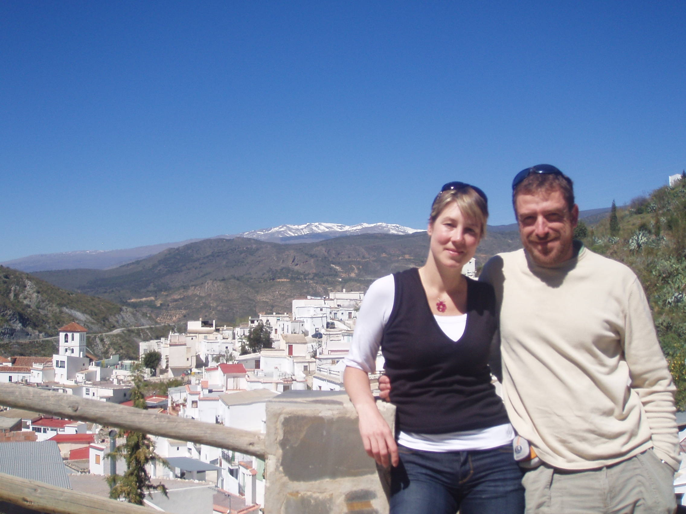
Village Torvizcon south of
Sierra Nevada, Las Alpujarras, Spain,
March 2008
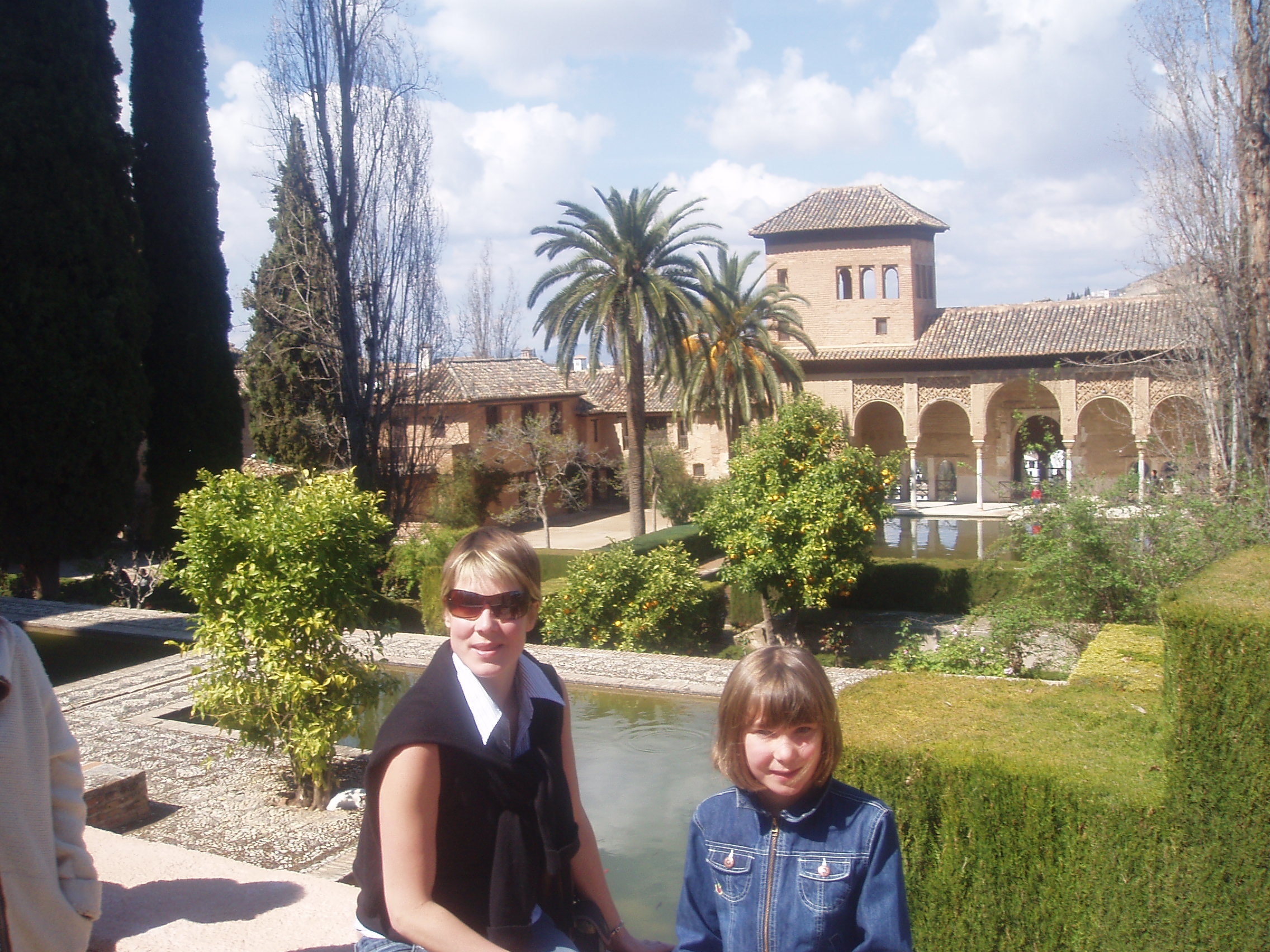
In the palace gardens of the Alhambra,
Granada, Spain, March 2008
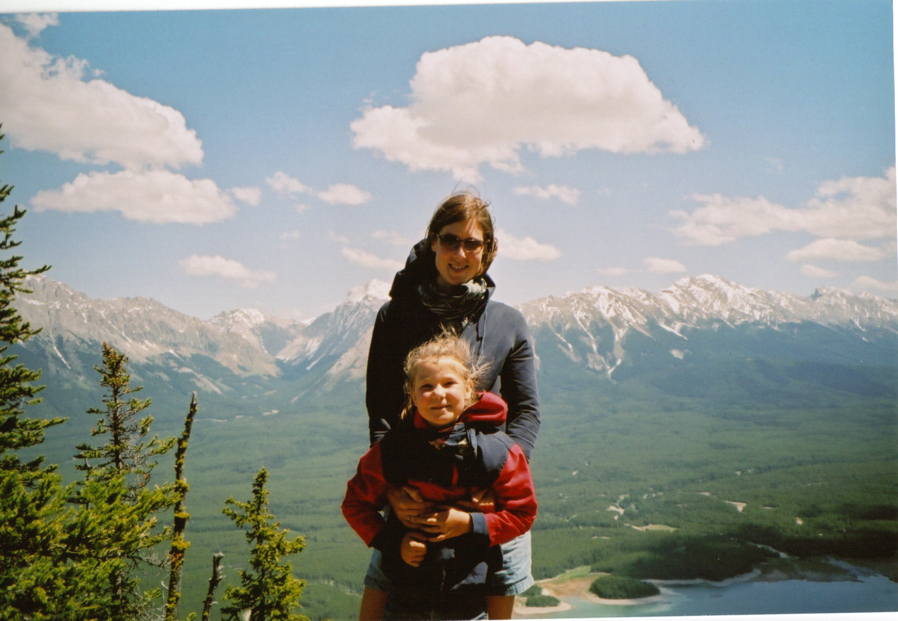
Mount
Indefatiguable, Kananaskis Lakes,
Rocky
Mountains, Alberta Canada,
June
2005
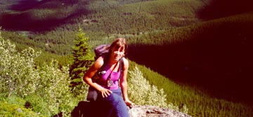
Masters
Field Work in the Upper Foothills,
near
Cadomin, Rocky Mountains, Alberta
Canada,
June 2001
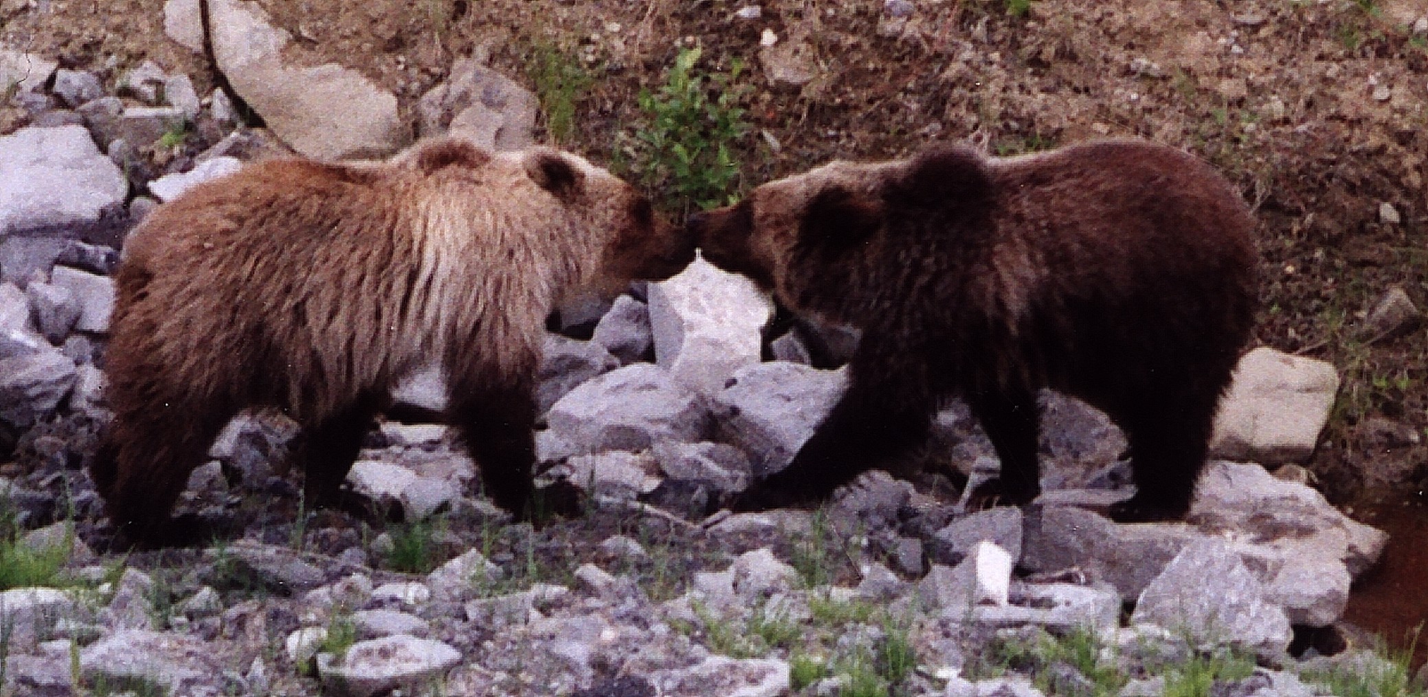
Two-year
old Sibling Grizzly Bear Cubs
observed
on a roadside south of Hinton,
Alberta,
Canada, June 2001
Website
last updated: Sept 18, 2013
by
Julia
Linke