Neighbourhood Morphology
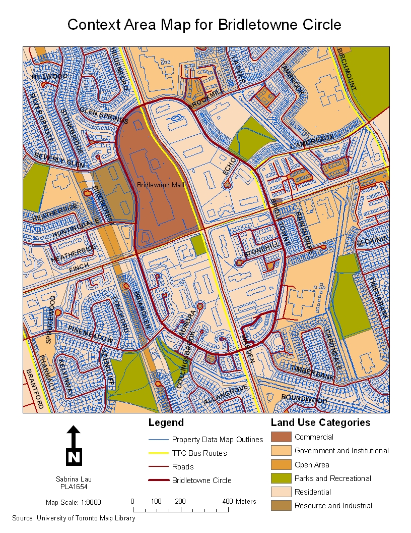
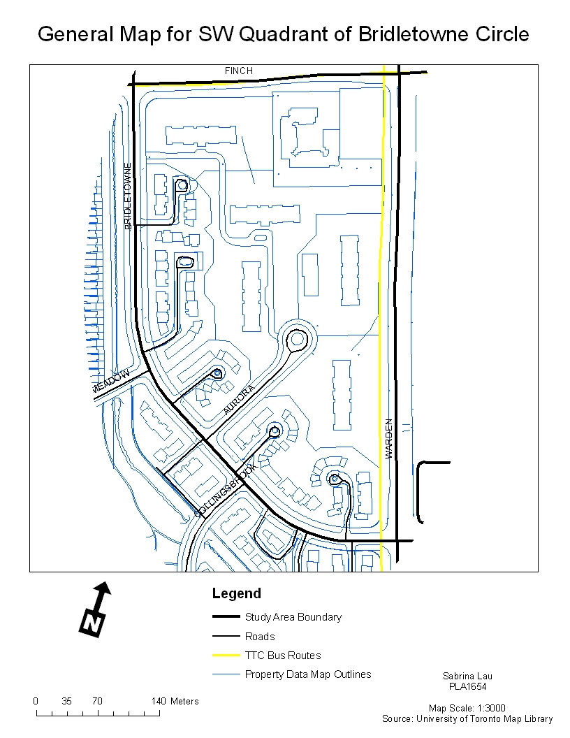
My area of study is Bridletowne Circle, which surrounds the Warden and Finch intersection in Scarborough. I am specifically looking at the housing patterns in the SW quadrant. Please click on image to enlarge.

| Context Area Map | General Map |
|---|---|
 |  |
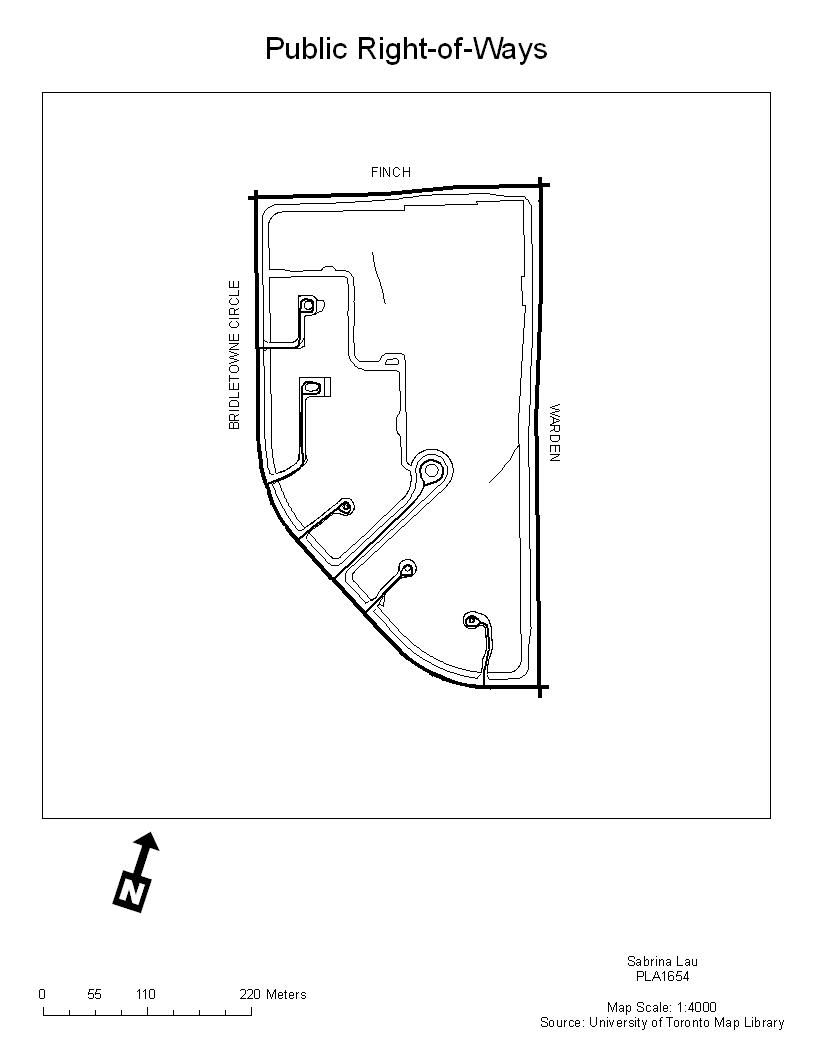
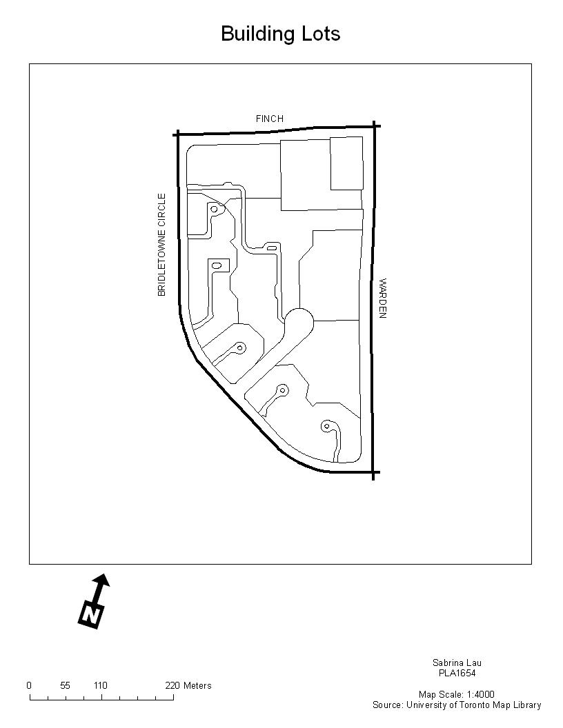
| Public Right-of-Ways | Building Lots |
|---|---|
 |  |
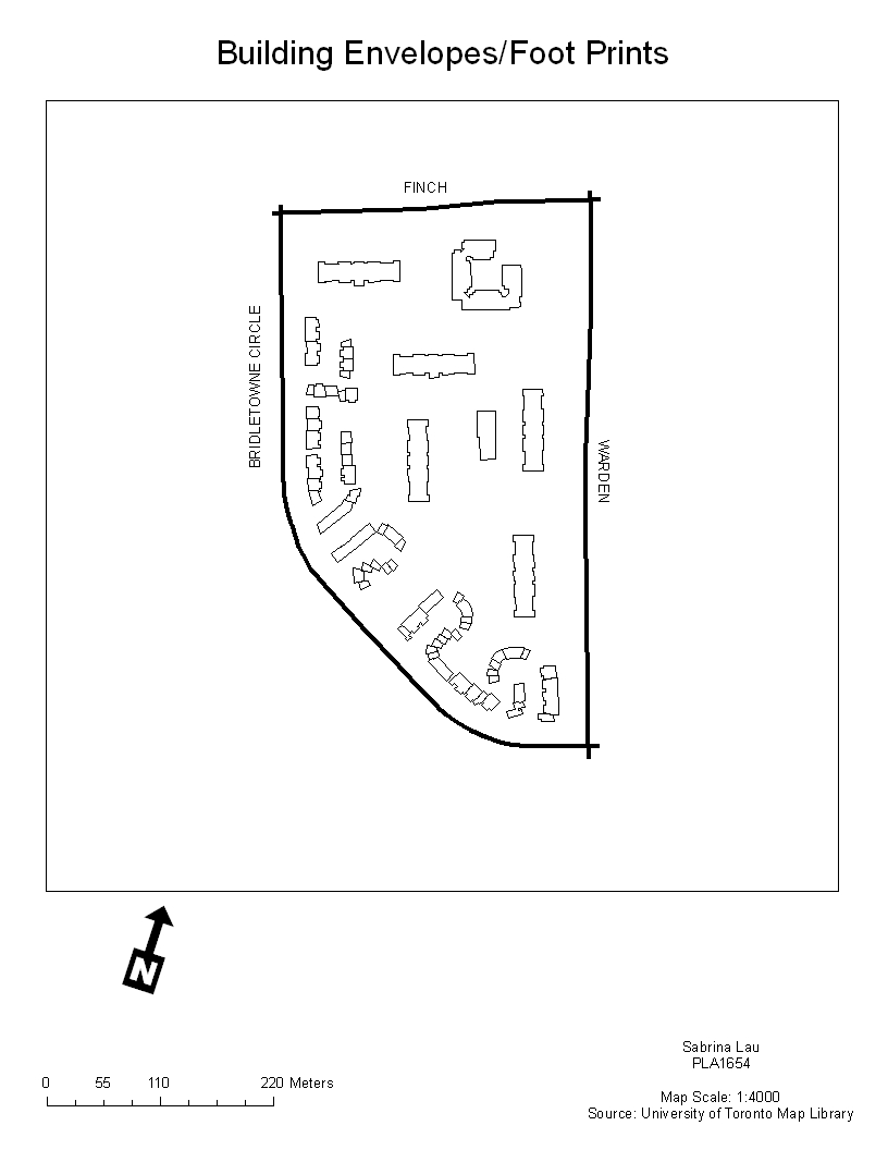
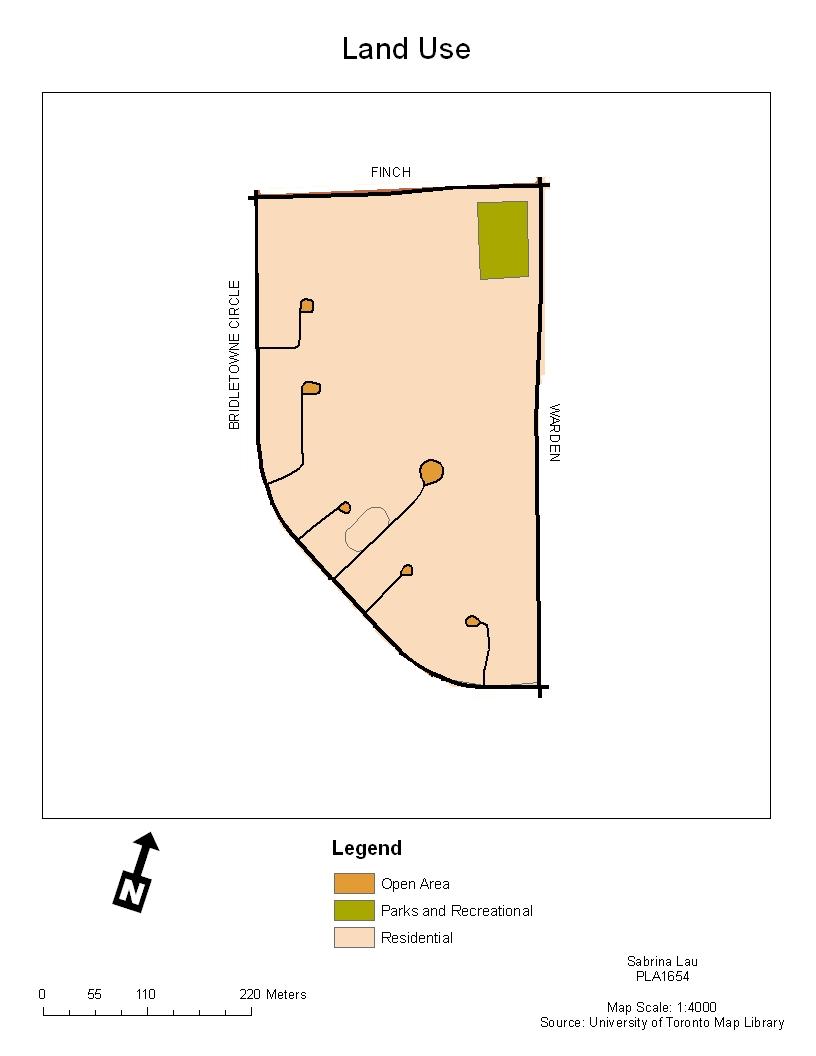
| Building Envelopes/Footprints | Land Uses by Parcel |
|---|---|
 |  |
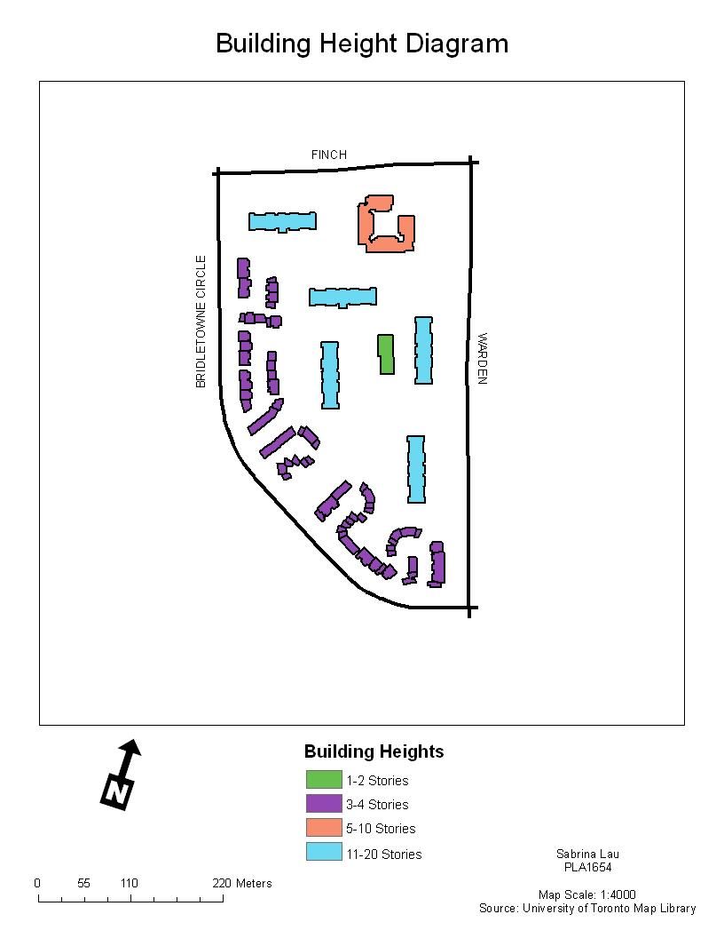
| Building Height Diagram | Transportation Map |
|---|---|
 |
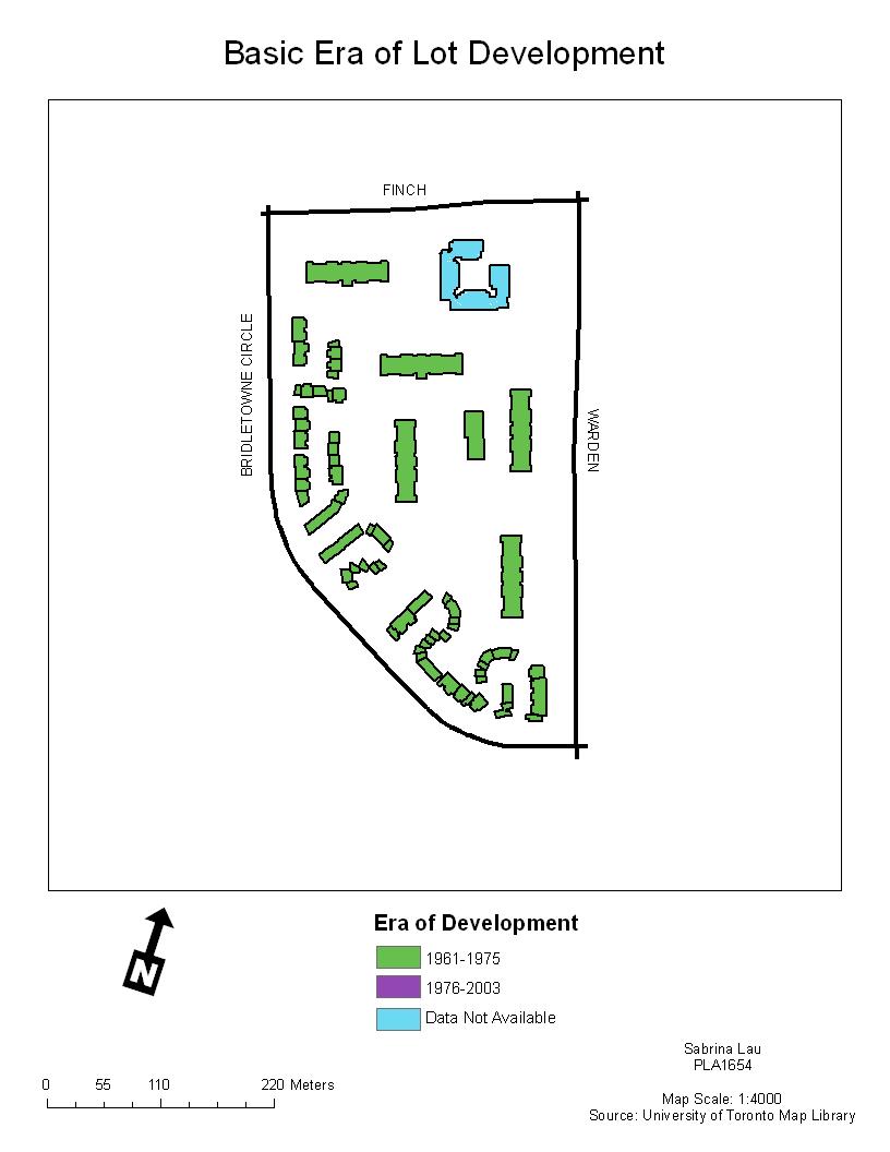
| Era of Development | Residential Density by Lot |
|---|---|
 | 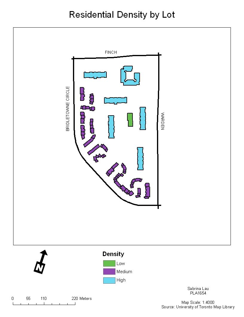 |
With the exception of the Location Map which is from MapQuest, all of the data was collected from the U of T Map Library or from field research. Gerald Romme provided the Property Data Maps, orthophoto, TTC network shapefile, landuse shapefile, road network shapefile, and City of Toronto Building Construction Dates map. Laine Ruus assisted with locating the population and dwelling counts for my specific dissemination areas.
Link to Attribute Data table
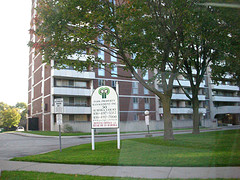
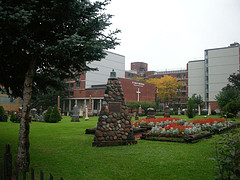
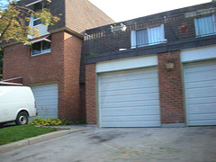
Neighbourhood Morphology Photos
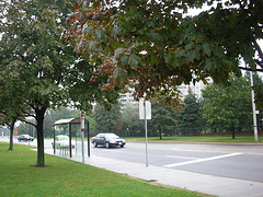 | 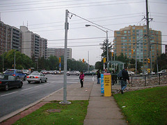 |
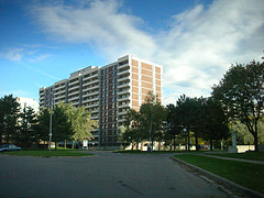 |  |  |
 | 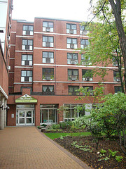 |
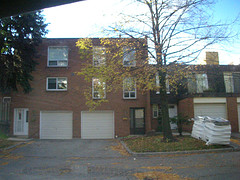 |  |
Masters of Science in Planning Candidate
Department of Geography, University of Toronto
Updated 13 October, 2006. Best viewed on Firefox.
© All rights reserved.