GIS
The graphical information system we created were targeting travellers around the world. The system was aiming to provide services to satisfy the needs of travellers. Major function of the system was navigation of the map and searching popular attractions.
Our Team: Li, Albert, Timothy

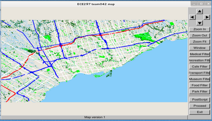
A map showing the major highways on our GIS.

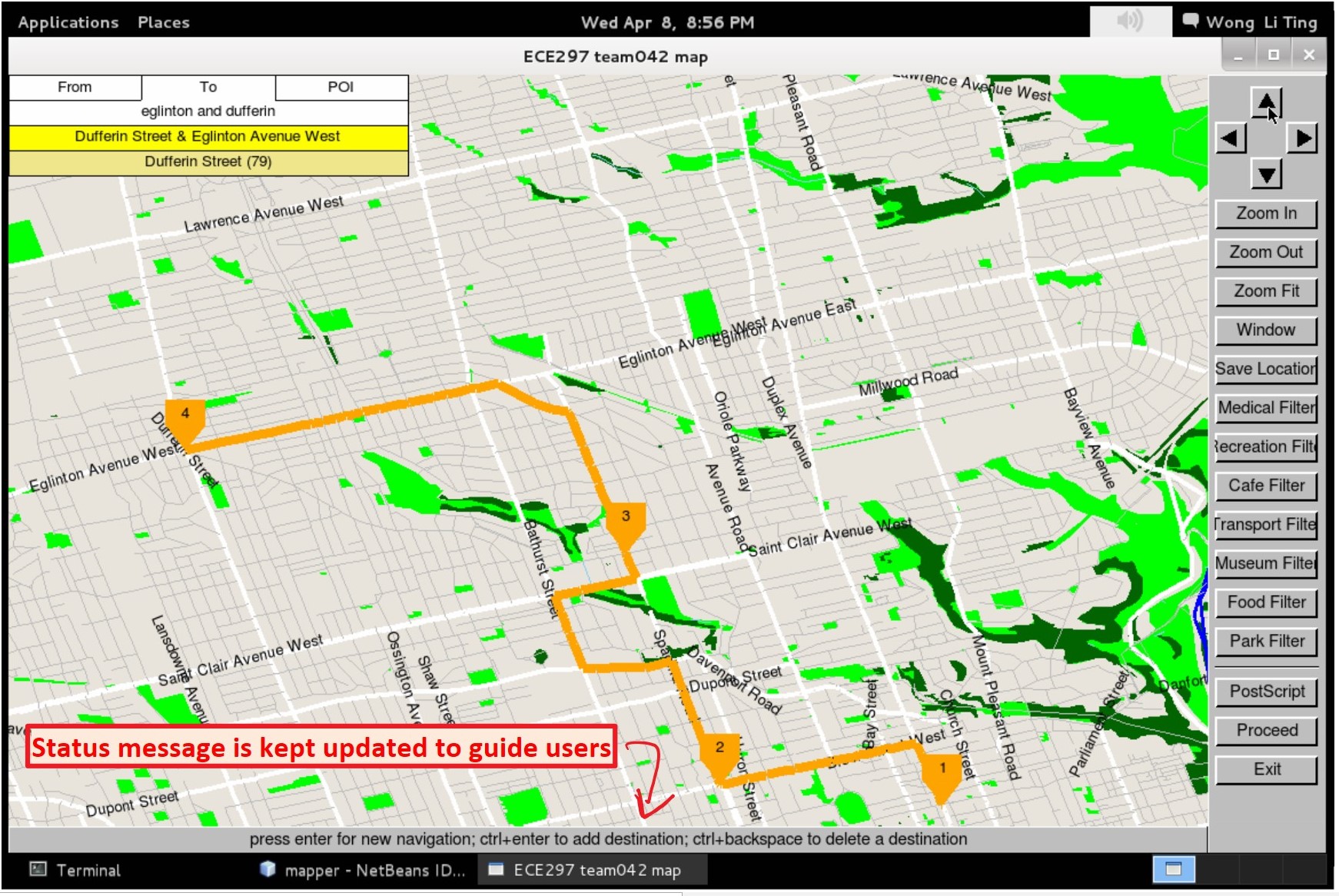
GIS showing the best way to travel through multiple destinations.

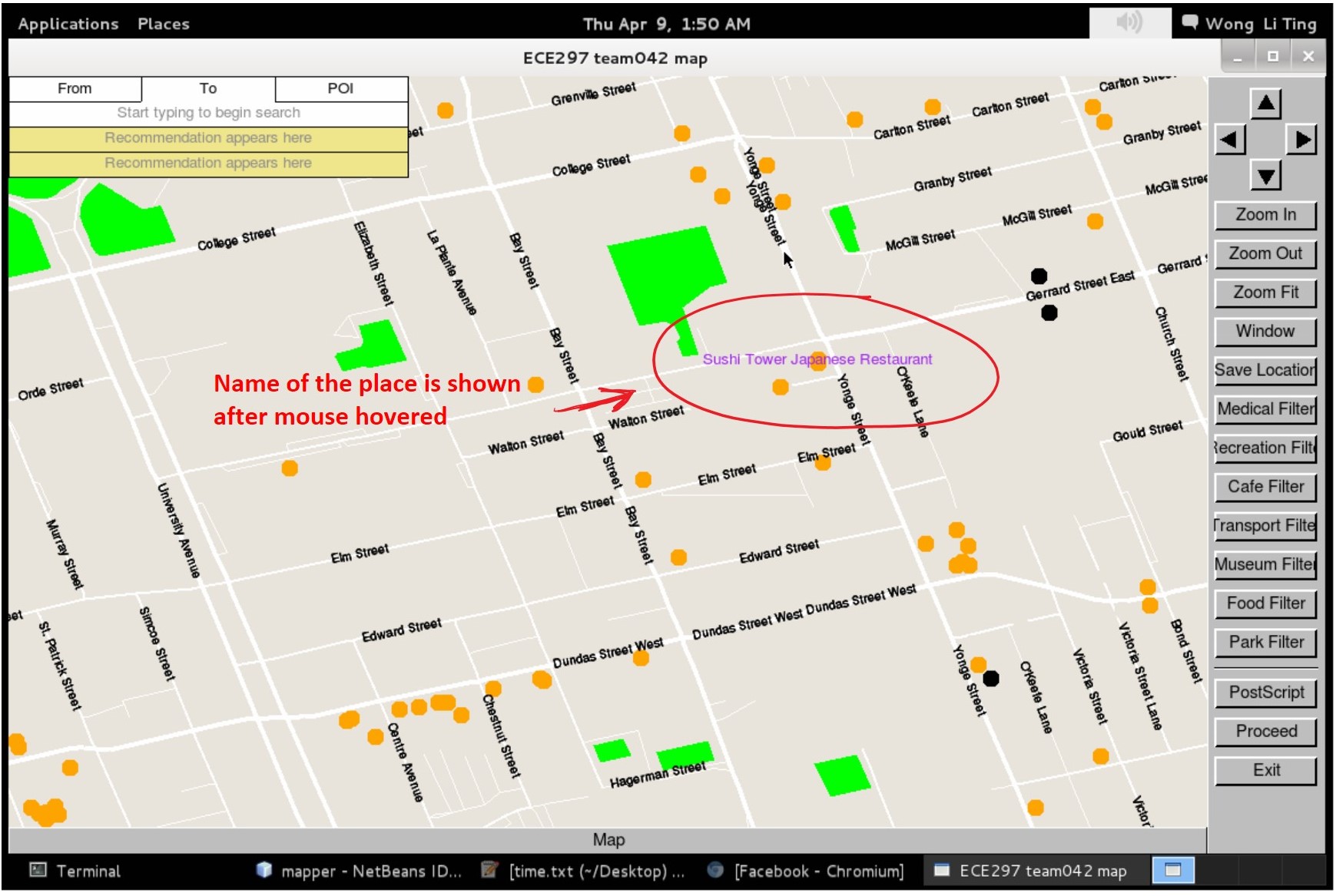
GIS showing names of a point of interest when the cursor hovers on top of the point.
